The Dix Range
5 Mountains over 4,000 feet
Known for its namesake Dix mountain, the Dix Range is home to five mountains over 4000 feet; East Dix, South Dix, Macomb, Hough and Dix. Of the five peaks only Dix has a maintained trail and the other four have herd paths that lead to each of the summits. The paths, while not official trails, are maintained fairly well and not too difficult to follow with some experience in navigation. There are multiple routes to the peaks - one from Elk Lake and two from Route 73 at the Boquet River and Round Pond. Our group of six hikers chose to complete a traverse of all five peaks in a day starting at the Boquet River on Rt. 73 and finishing at the Round Pond trailhead. The traverse from this route is close to 18 miles and over 6000 feet of elevation gain.
How our trail begins
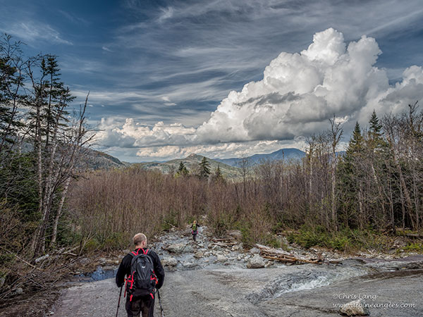
We left two cars at the Round Pond trailhead and used another to ferry our group over to the start of our trek at the Boquet River. We started off around 6:30AM to stormy skies and a forecast of rain. The path for this section is not officially maintained and had a few spots that were washed out. Generally it follows the river all the way to the slide on East Dix (now officialy known as Grace). Grace is a relatively low angle slide and not too exposed making it a great first slide to learn on. When we reached the slide the weather, which had been starting to clear up, changed and we had a slight misting of rain. Luckily for us the rock is very good on the slide and there are almost no slippery spots to worry about even when wet. To be safe we wore microspikes to provide additional traction.
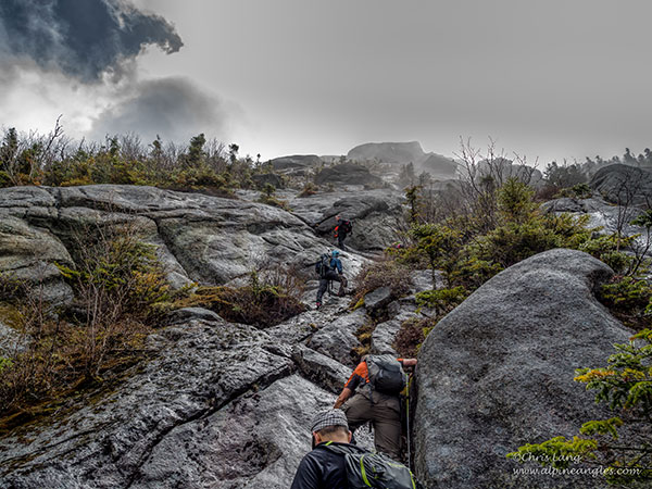
A change in weather = change in scenery
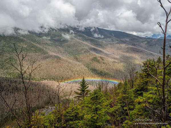
As we climbed the weather changed for the better and we even had a few appearances of the sun and a small rainbow to accompany it.
As we approached the top of the slide there were a few more exposed sections where we helped some of our less experienced climbers along with the assistance of a rope.
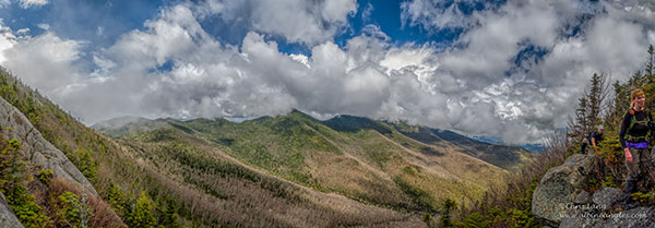
Shortly after we reached to top of the slide and the cliffs. The weather had really cleared up and it started to get very warm. We enjoyed the views of our first summit of the day and moved on to the true summit a few hundred yards from the cliffs after a short break in the sun.
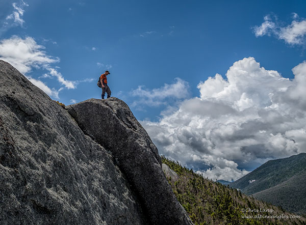
From the summit of East the path progresses down to a col and back up to the summit of South Dix (Carson). The trip took us about 40 minutes. The true summit of South Dix is in a wooded section but there are some great views a short distance away in an open rocky area.
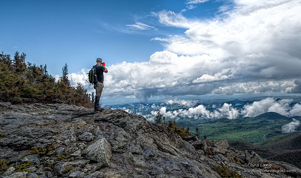
From the summit of South Dix the path descends an open rocky area and then continues up Macomb. From here the views are amazing - you can see Macomb, Hough and Dix nearby along with Nippletop and much of the Upper Great Range in the distance.
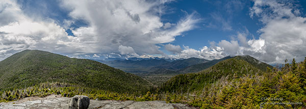
As we moved on from the openness of the rock we descended into a forested area before leveling out and beginning our climb up Macomb. The weather changed yet again and it started to rain and we could hear the rumbling of thunder off in the distance. We moved quickly, hopeful the storm would not reach us, and reached the summit of Macomb where we made a brief stop and headed down. We backtracked over to South Dix and just before the summit took the turnoff to Hough.
Hiking to Hough
The path to Hough takes you down from South Dix and over a false summit before heading back down and then climbing steeply to the summit of Hough.

From Hough through the clouds we could just make out the Beckhorn, a feature on the side of Dix, which would be our next destination. The path descends steeply after leaving Hough’s summit and then begins to ascend close to 1000 feet. Near the top there is a tight spot between two cracks known by some as the Beckhorn Crack. There is a short length of rope that was left by other hikers to assist on the way up, but if you are feeling ambitious you can climb through without use of the rope. Here the path meets up with the DEC trail over Dix Mountain. From the top of the Beckhorn you can see the true summit of Dix a few hundred yards down the trail.
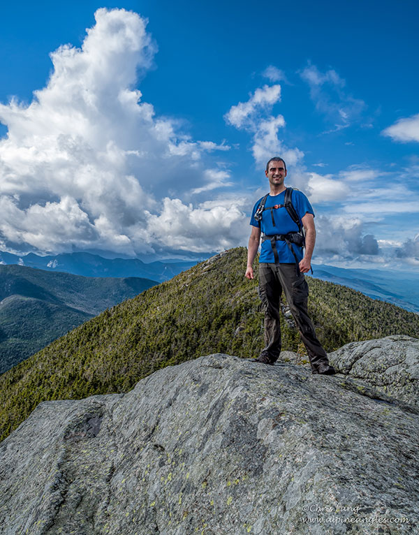
Looking back at the Beckhorn from the summit of Dix you can see Elk Lake off in the distance.
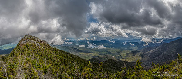
After a few pictures on the summit of Dix we headed down the trail. The trail down Dix is known as one of the steepest in the Adirondacks but we descended quickly and without any issues.
A popular lean-to
Near the bottom of Dix the trail merges with the Dix slide and there is a view of the valley with Noonmark in the distance. From here the trail leads out to a Lean-to which proved to be quite a popular spot this weekend with several large groups making camp as we passed though. As we approached the trailhead we made a quick stop off at Round Pond to take in the view.

After round pond it’s a short hike back to the cars for some well deserved rest and relaxation.
Interested in a hike like this?
Check out the Schroon Lake hiking page, and find a great places to stay and dine.


