Cross Country Skiing In Schroon Lake Recon
With winter looming, but not QUITE here yet, I decided one day recently to do some recon for cross country ski season in the Schroon Lake Region.
I’ve done a lot of hiking in the region. In reviewing the trail systems for this recon mission, however, I realized that most of my hiking - both summer and winter - has been in the Pharaoh Lake Wilderness. There are other wilderness areas for me to explore; including the Hoffman Notch Wilderness area (where I HAVE gone snowshoeing once), and the Hammond Pond Wild Forest - a network of trails that I’ve never traversed.
Gear, Trails and Companions
I looked at the map and descriptions, and decided that the Moose Mountain Pond and/or Bass Lake seemed to have great potential for cross country skiing. (I also asked the advice of my friend Elizabeth Lee, a licensed guide familiar with the region, and she agreed it would be a great ski or snowshoe destination.)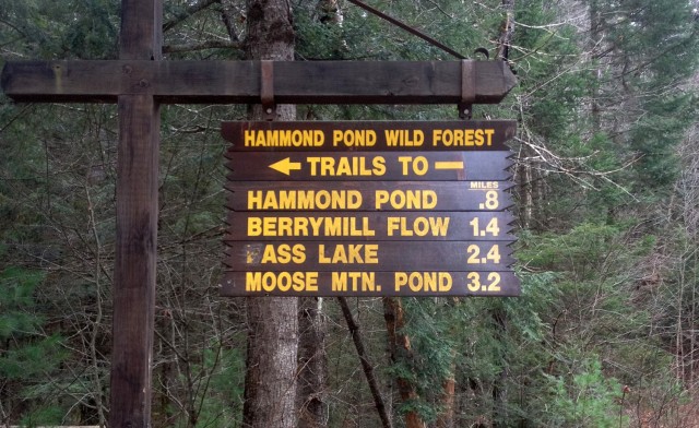
“Wild Forest” seems like somewhere you’d go unwillingly alone in a fairy tale. And as it was a week day and I WAS alone, I brought my trusty dog Katie with me on this recon mission.
On the Trail in the Adirondacks
We donned bright colors as it was hunting season, brought a small pack with water and lunch, and reviewed the sign in the empty parking lot at the trailhead, which is located on Ensign Pond Road in the Town of North Hudson. Moose Mountain Pond was 3.2 miles and Bass Lake (cleverly edited by local hooligans on every sign, I noticed) was 2.4. I decided that we’d head toward Moose Mountain Pond, and decide at the junction for Bass Lake whether I felt like tackling both lakes.
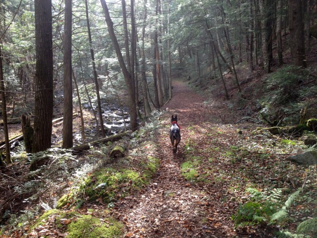
The day was unseasonably mild, calm and sunny, but I stretched my imagination and pictured the trail covered in snow, and myself gliding on my classic cross country skis.
The hemlock-lined trail is quite wide and generally flat, without much elevation gain in the beginning. The trail parallels a stream, and a nice waterfall; perfect for a dog to muddy their paws and get a drink - though small enough that it would likely freeze over during ski season. After a mile or so, my keen investigative eye caught sight of one section that might be tricky on skis, but certainly navigable, and depending on snow depth maybe easier than it appeared with the rocks and roots visible at this time of year.
We were trekking along quickly, even without skis, and soon arrived at the junction for Bass Lake. I decided to head straight to Moose Mt. Pond and lean-to, which was another 1.8 miles from that point, and perhaps visit Bass Lake on the return trip.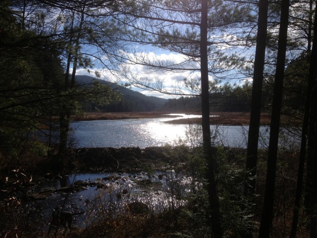
Shortly after that junction, we crossed a small bridge at a dam at the end of a huge marsh. There were at least three beaver lodges visible from the trail, which parallels the marsh on its left for a bit. This section, blanketed in pine needles instead of snow at this time, included some rolling hills - quite a nice surface for skiing without requiring real technical moves.
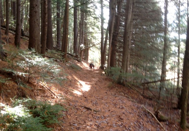
Before long I could see that we were nearing the pond itself - and there was an area that appeared to be an obvious rest stop (there was even a cast iron pan left hanging on a tree.) The trail, however, continued to navigate around the lake to the left. We continued along this section - scanning the landscape for the lean-to that would signal the end of the trail. This section was narrower, but still a fine trail for skiing.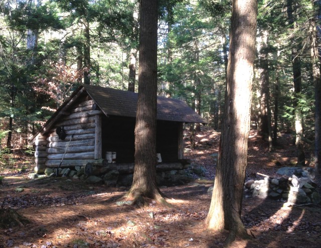
Finally, there it was; a lean-to located above a beautiful pond. We scampered down to the water’s edge, I unpacked my snacks, and Katie went for a swim and fetched sticks for a while before returning to my comfortable lunch spot, realizing that her snacks were in my bag, too.
It was a lovely day, warm in the sun, but the days this time of year get shorter, and we had to turn back in order to ensure that we returned to the trailhead before dark.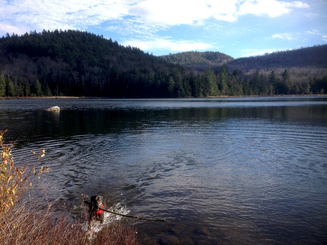
If it was winter, once the lake was frozen, I could have skied across the lake’s surface directly back to that spot where the cast iron pan awaited, rather than through the woods. But we hiked back along the trail - eventually reaching the bridge at the dam. We soon were back at the junction to Bass Lake, but given the time, I decided that destination would have to wait until we returned on skis this winter.
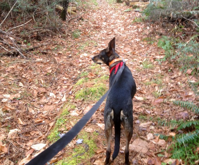
Though we hadn’t seen one person since we left the car, I put Katie back on her leash for the last mile or so to be good citizens, just in case we encountered anyone. We ran much of that last mile at speeds much like we’d achieve on skis, and I imagined that if I really WAS on skis, Katie could have pulled me, skijoring-style, skillfully navigating the trail and delivering me safely to the car.*
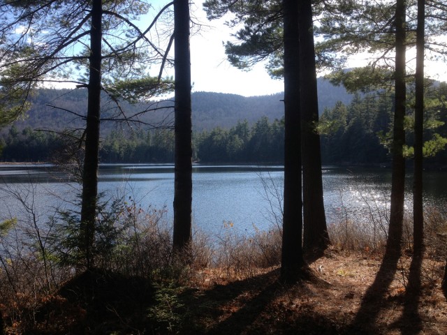
I’m pleased to report that the reconnaissance mission was a success. I’m definitely going to return on cross country skis, which typically allows one to cover terrain a bit faster than on foot, giving me time to check out (B)ass Lake, too.
* Note: We’ve never skijored before, and I’m pretty sure that if I were simultaneously on skis and tethered to my dog, we’d have been in those woods LONG after dark, trying to untangle my legs and poles from the trees that line the trail. But that’s not how I imagined it.
Kim Rielly is the director of communications for the Regional Office of Sustainable Tourism.
